What Data Makes Drone Stockpile Measurements Reliable
Reliable aerial stockpile calculations start with the right data. Without it, even the best software can produce misleading numbers. The direct answer is that you need high-resolution drone imagery, accurate ground control points, consistent flight parameters, and a validated processing workflow. Each piece plays a specific role in turning raw pixels into a trustworthy volume estimate.
This article explains what each data requirement means and why it matters for aerial volume measurement. Understanding these details helps you evaluate whether a stockpile calculation is dependable or just a rough guess.
High-Resolution Imagery
The foundation of any drone-based volume calculation is the imagery itself. Resolution determines how much detail the photogrammetry software can extract. For stockpiles, you typically need a ground sample distance (GSD) of 2-3 centimeters or better. That means each pixel in the image represents a square of that size on the ground. Coarser resolution can blur edges and round off corners, which reduces accuracy in the final model.
Resolution depends on the camera sensor, flight altitude, and lens quality. Flying lower gives finer detail but requires more images and longer processing times. A good rule is to match the resolution to the stockpile's size and shape. A fine-grained material like sand needs higher resolution than a coarse rock pile because the surface texture matters for edge detection.
Overlap and Coverage
Photogrammetry works by finding common points in overlapping images. The industry standard for topographic surveys is at least 75% forward overlap and 60% side overlap. Less than that can leave gaps or weak areas in the 3D model. For stockpiles, which often have steep sides and irregular shapes, higher overlap helps capture the full profile without blind spots.
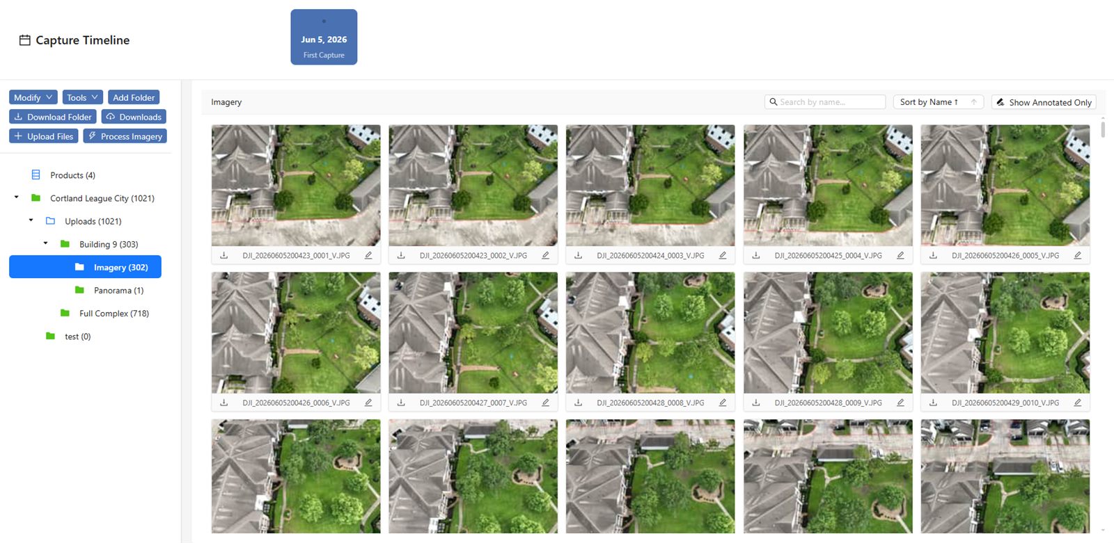
Coverage also matters. The flight plan should extend well beyond the stockpile perimeter to include stable ground that can serve as a reference surface for the base elevation. Without that reference, you cannot separate the stockpile volume from the surrounding terrain.
Ground Control Points
Ground control points (GCPs) are physical markers with known coordinates placed around the stockpile. They tie the drone model to real-world positions. Even the best drone GPS is less accurate than survey-grade ground measurements. GCPs correct for drift in the drone's onboard positioning and for any distortion in the camera lens.
A typical stockpile survey uses four to six GCPs placed on stable ground around the pile. More points improve accuracy, especially for large or complex sites. The coordinates should come from a survey-grade GPS or total station. If you skip GCPs and rely solely on the drone's GPS, you risk errors of 10-20 centimeters or more in elevation, which translates directly into volume errors.
Consistent Flight Parameters
If you survey the same stockpile multiple times to track changes, the flight parameters must stay consistent. That means the same altitude, same camera settings, same overlap, and same flight pattern. Even small changes can introduce systematic errors that look like real volume changes.
For example, flying 5 meters higher on the second survey reduces resolution and can shift the detected ground surface by several centimeters. The volume difference between surveys would then include this flight error in addition to any real change in the stockpile. Standardizing the flight plan eliminates this source of confusion.
Processing Workflow and Validation
The imagery and control points feed into photogrammetry software that builds a 3D point cloud and then a mesh or digital elevation model. The processing steps include aligning images, extracting tie points, running bundle adjustment, and generating the dense point cloud. Each step introduces potential errors, so validation is critical.
One way to validate is to compare the processed model against a few independent check points that were not used in the processing. These points should show elevation errors within the expected tolerance, typically 2-5 centimeters for stockpile work. Another check is to examine the point cloud for noise on flat areas. If a known flat surface shows ripples or bumps of more than a few centimeters, the processing parameters need adjustment.
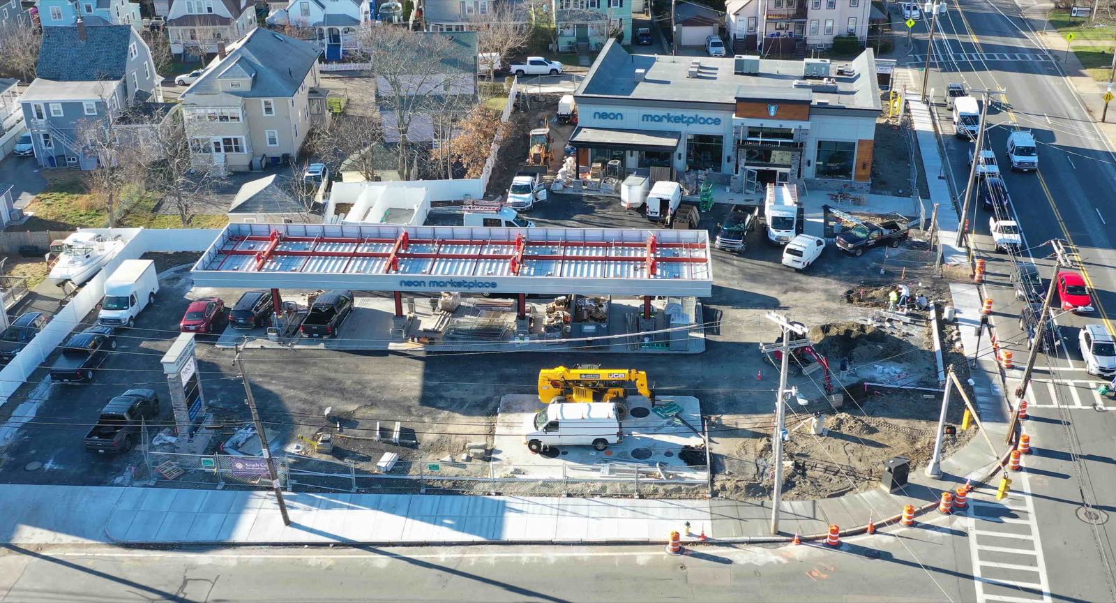
National Drone Services stockpile volume calculations follow this kind of validated workflow, using ground control and consistent flight planning to produce numbers that match what you would get from a traditional ground survey. The key is that the data chain is traceable: each step from image capture to final volume has a quality check attached to it.
Base Surface Definition
The volume of a stockpile is the difference between the stockpile surface and a reference base surface. Defining that base surface correctly is often the biggest source of error. The base should represent the ground elevation as it would be if the stockpile were removed, not the current ground surface that may include debris, vegetation, or previous pile remnants.
For a site with a known flat pad, the base surface is a simple plane at a constant elevation. For a site with natural terrain, the base may need to be a triangulated surface interpolated from points around the pile. The method matters because a poorly chosen base can add or subtract thousands of cubic meters from the calculated volume.
It is best to survey the base surface when the pad is empty, or at least to collect enough ground points around the pile to model the terrain accurately. If you only have the current survey with the pile in place, you must interpolate the base from visible ground points, which introduces uncertainty. The more ground points you have, the lower that uncertainty.
Data Management and Repeatability
Stockpile measurements are often repeated monthly or quarterly to track inventory. For these comparisons to be meaningful, the data from each survey must be stored in a way that allows direct comparison. That means keeping the original images, the processing project files, the control point coordinates, and the final model in a consistent naming and folder structure.
A platform that centralizes these datasets makes it easier to compare surveys side by side. It also helps catch errors early. If the volume from a new survey jumps unexpectedly, you can check the flight log, the control point coordinates, or the base surface definition to see if something changed.
National Drone Services stockpile volume calculations also rely on this kind of organized data management. The platform stores the raw data alongside the processed results so that any calculation can be audited later. That audit trail is what separates a reliable number from a black-box estimate.
Trade-Offs and Judgment Calls
Every data choice involves a trade-off. More ground control points cost time to place and survey. Higher resolution means more images and longer processing. Tighter overlap increases flight time and battery consumption. The art is in matching the data quality to the required accuracy for the decision you need to make.
If the stockpile is used for a rough inventory estimate, a 5% error might be acceptable. If it is used for financial reporting or royalty payments, you need higher precision and a fully traceable workflow. Understanding the data requirements lets you set the right level of effort for each job.
In the end, reliable aerial volume measurement is not about one magic piece of data. It is about assembling a complete set: good imagery, solid ground control, consistent flights, validated processing, and a clear base surface definition. Miss any one of those, and the volume number becomes less trustworthy, no matter how good the software looks.
National Drone Services on social media
 Facebook
Corrections
Spot something wrong? Send it to the desk and it gets fixed in the open.